


Short info:
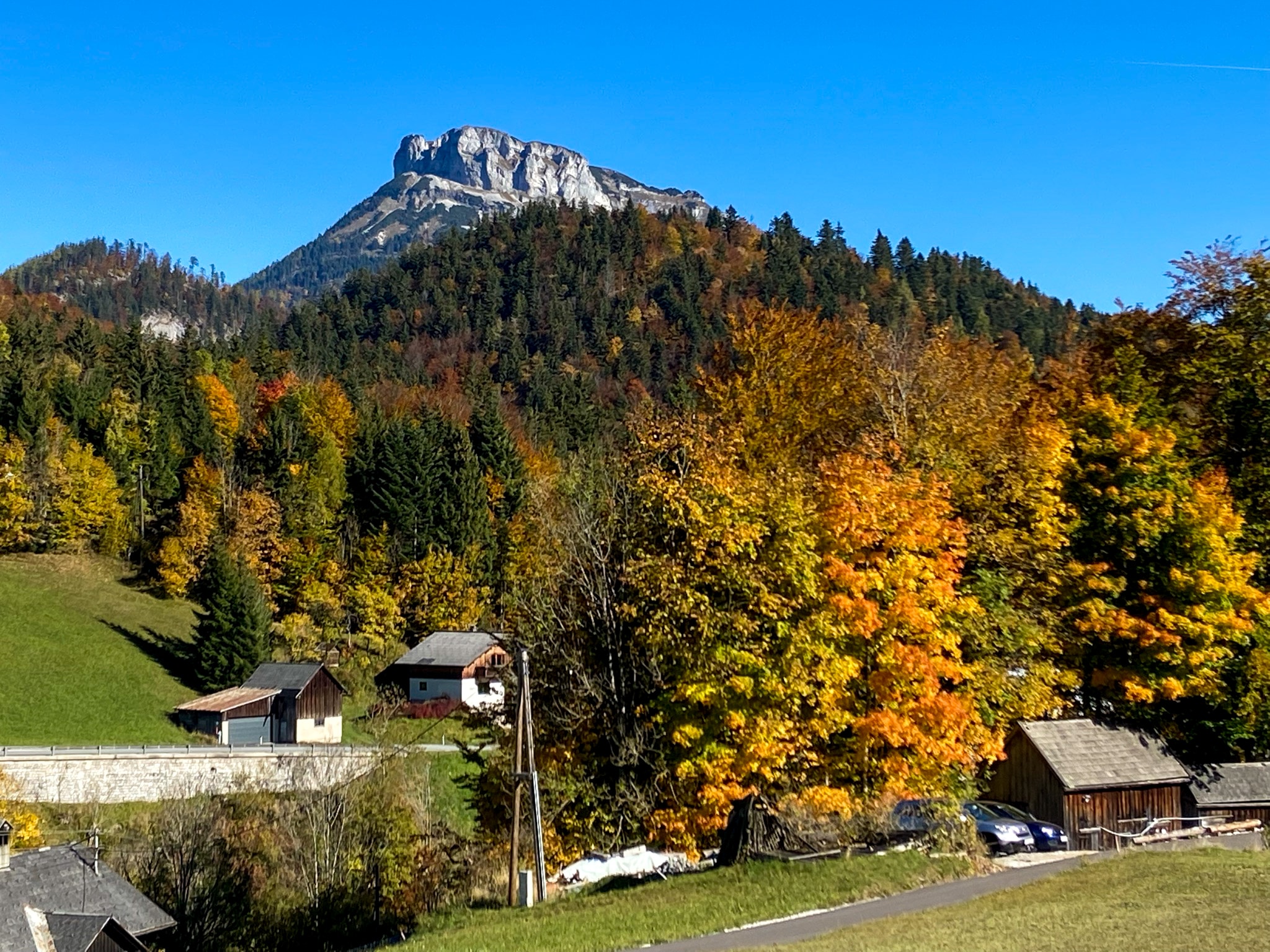
- What’s the loser? The Loser is a 1837 m above sea level. A. high mountain in the municipality of Altaussee on the north shore of Lake Altaussee. Its striking, castle-like summit structure makes it a landmark of the Ausseerland.
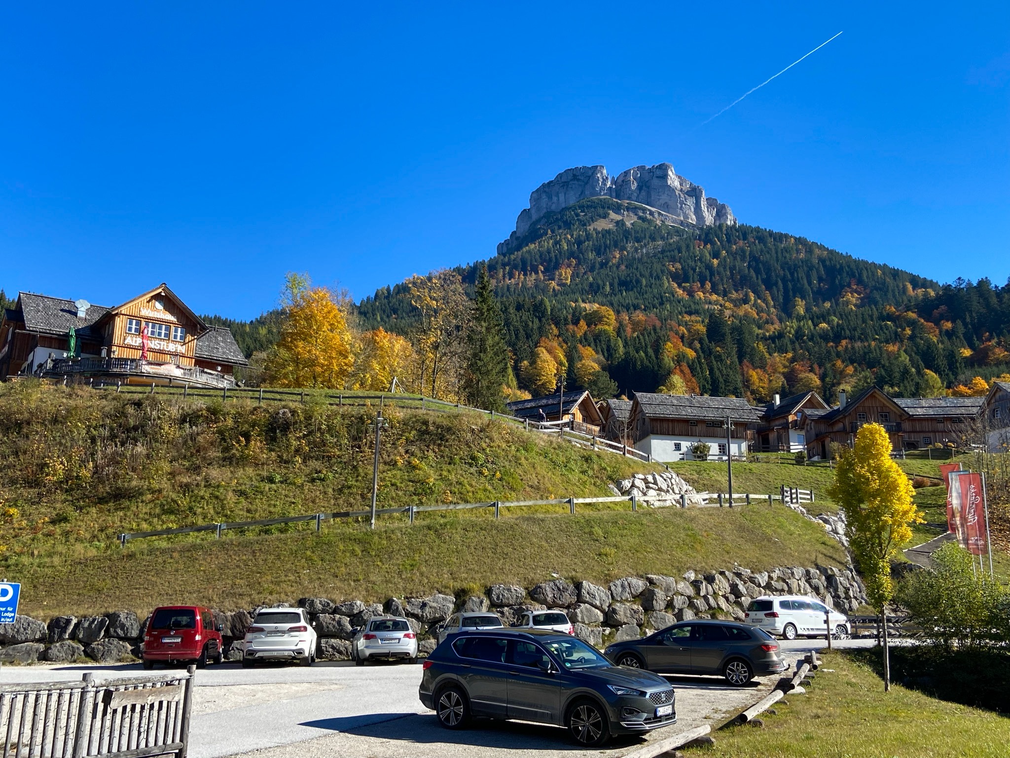
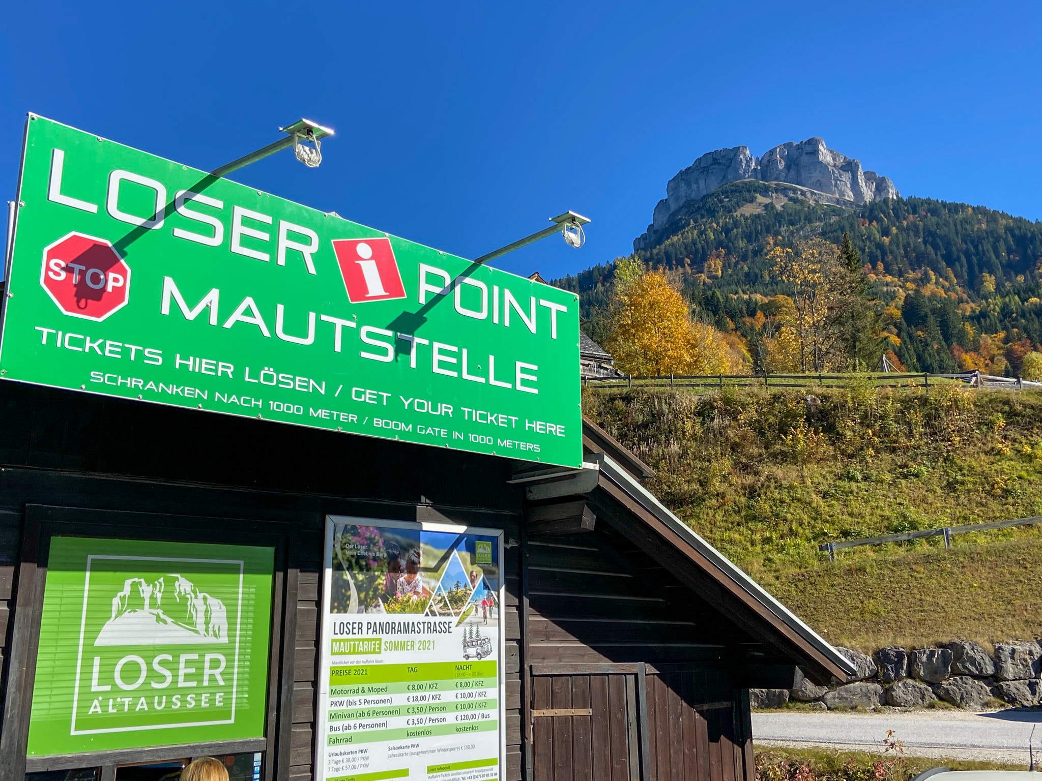
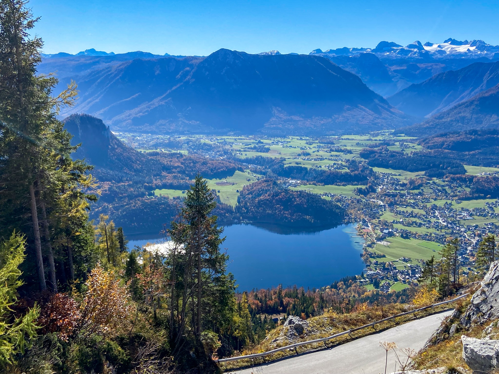
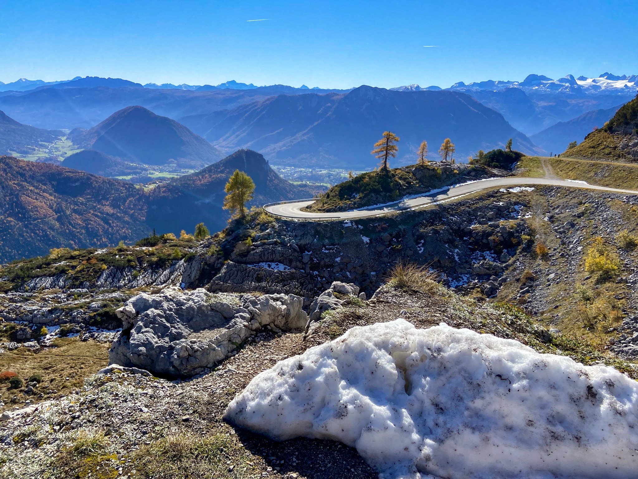
- How do you get there? The Loser is accessible via the Loser Panorama Road, which was opened in 1972 and extends up to 1600 m above sea level. A leads.
- Is there a road toll? Yes, the Loser Panoramastraße is open between April and October/November from 0 a.m. to midnight, depending on snow conditions. Toll prices/ prices in winter.
- What is there to see here? In winter it is a ski area, in summer it is the starting point for numerous hikes.
The loser in summer:
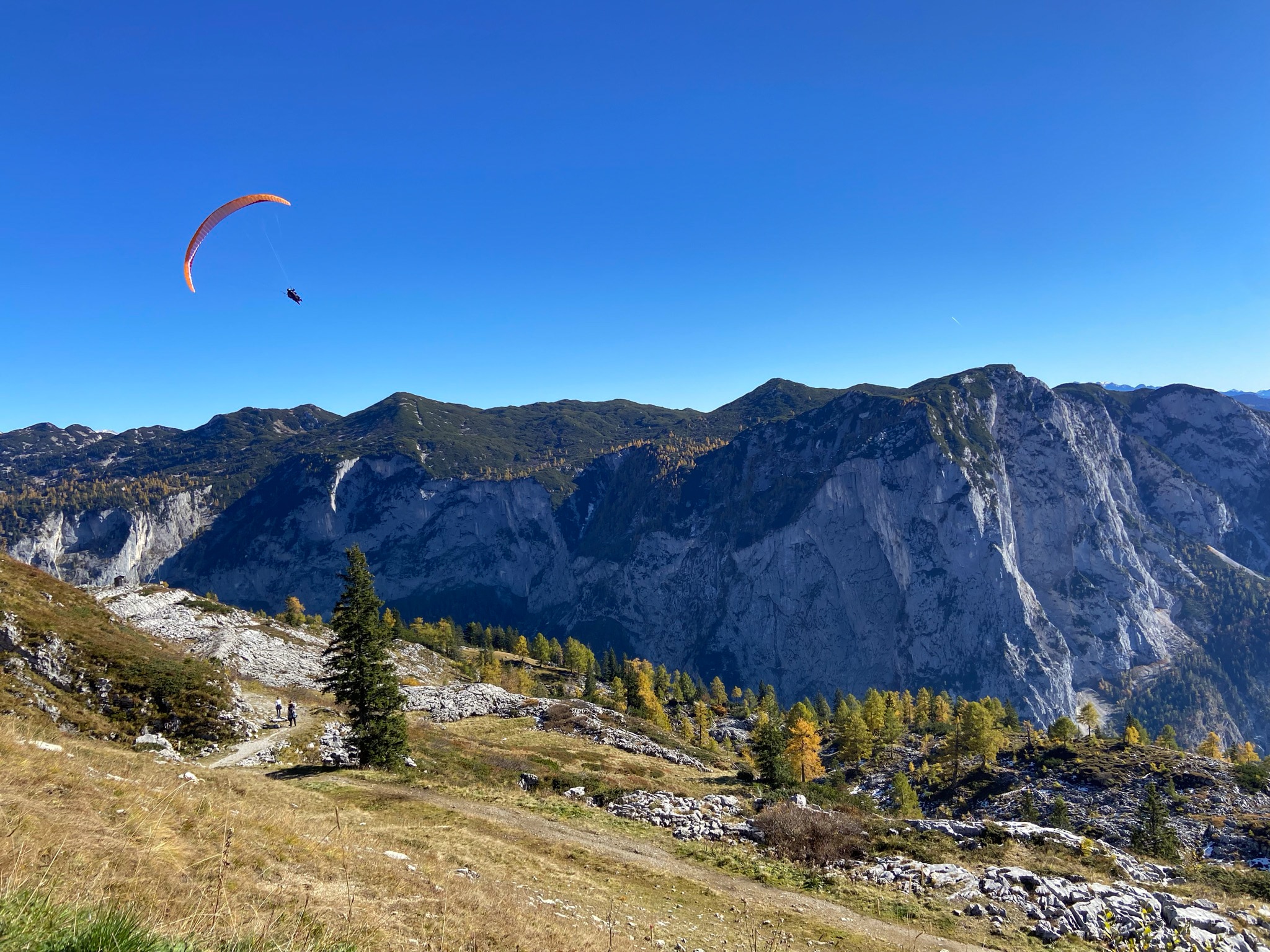
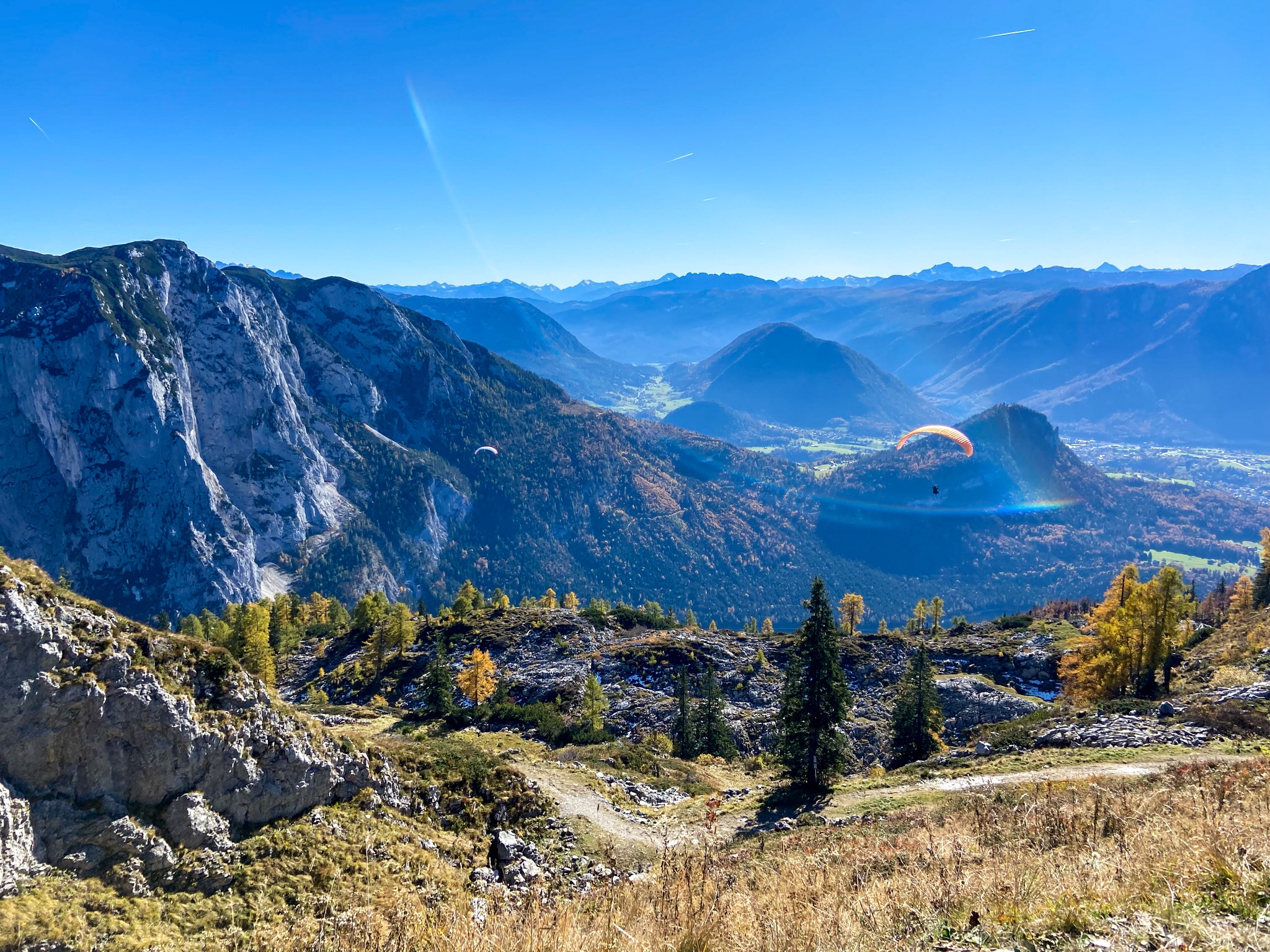
The Loser in Altaussee is a good starting point for hiking, climbing, paragliding, cycling and much more. Sisi, Empress Elisabeth of Austria-Hungary, used to hike here with enthusiasm.
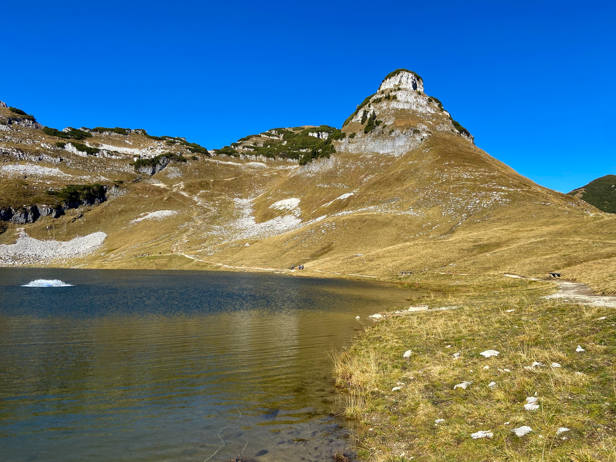
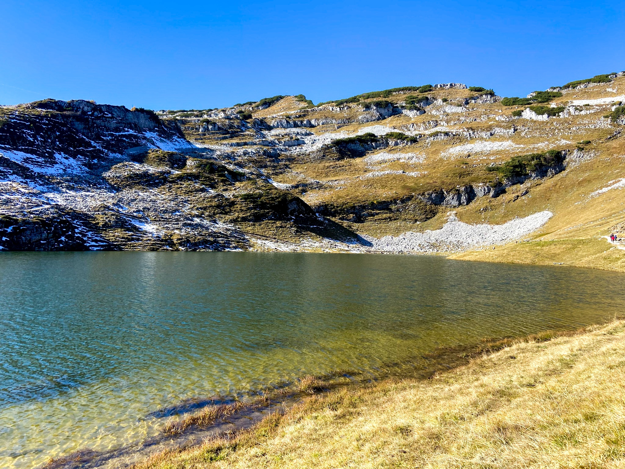
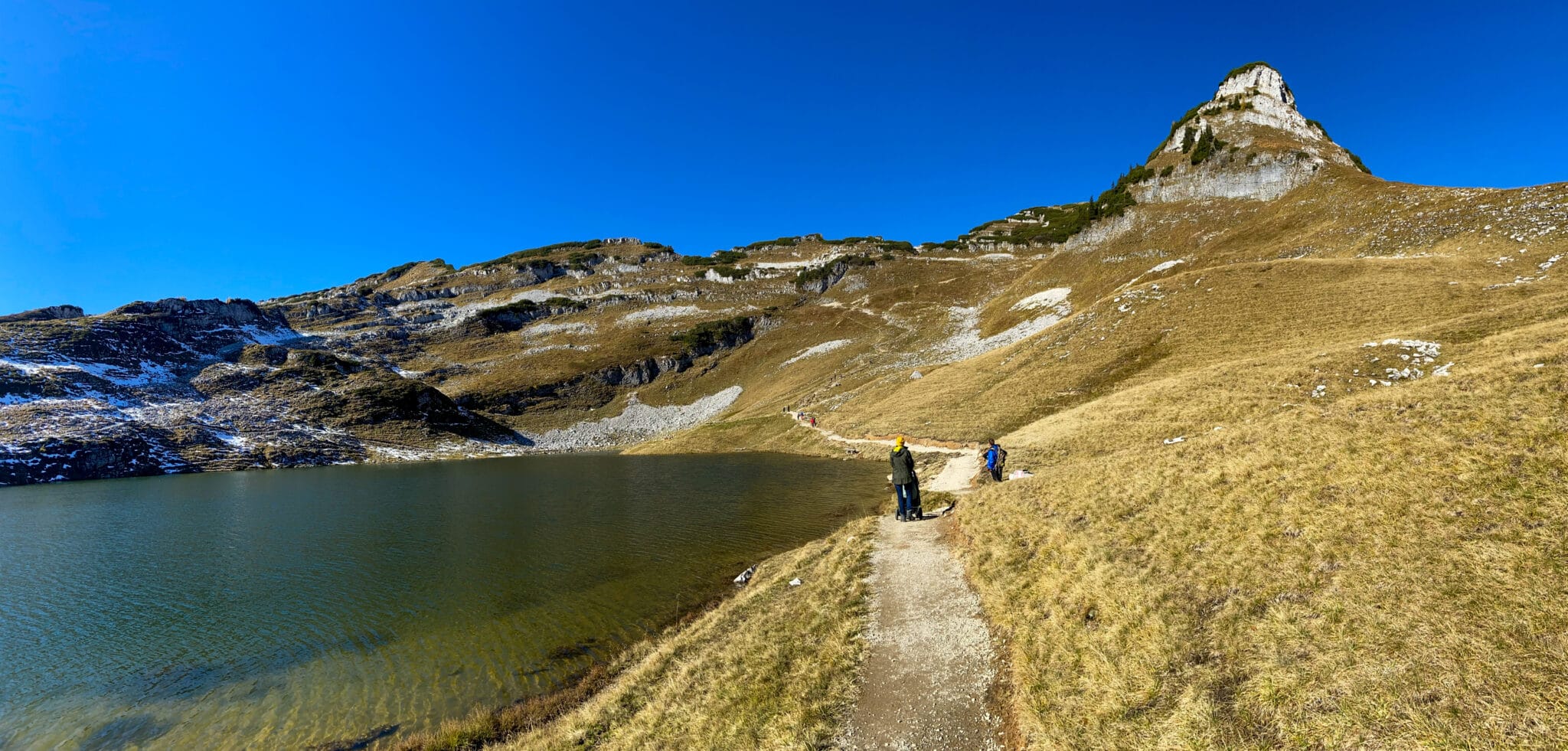
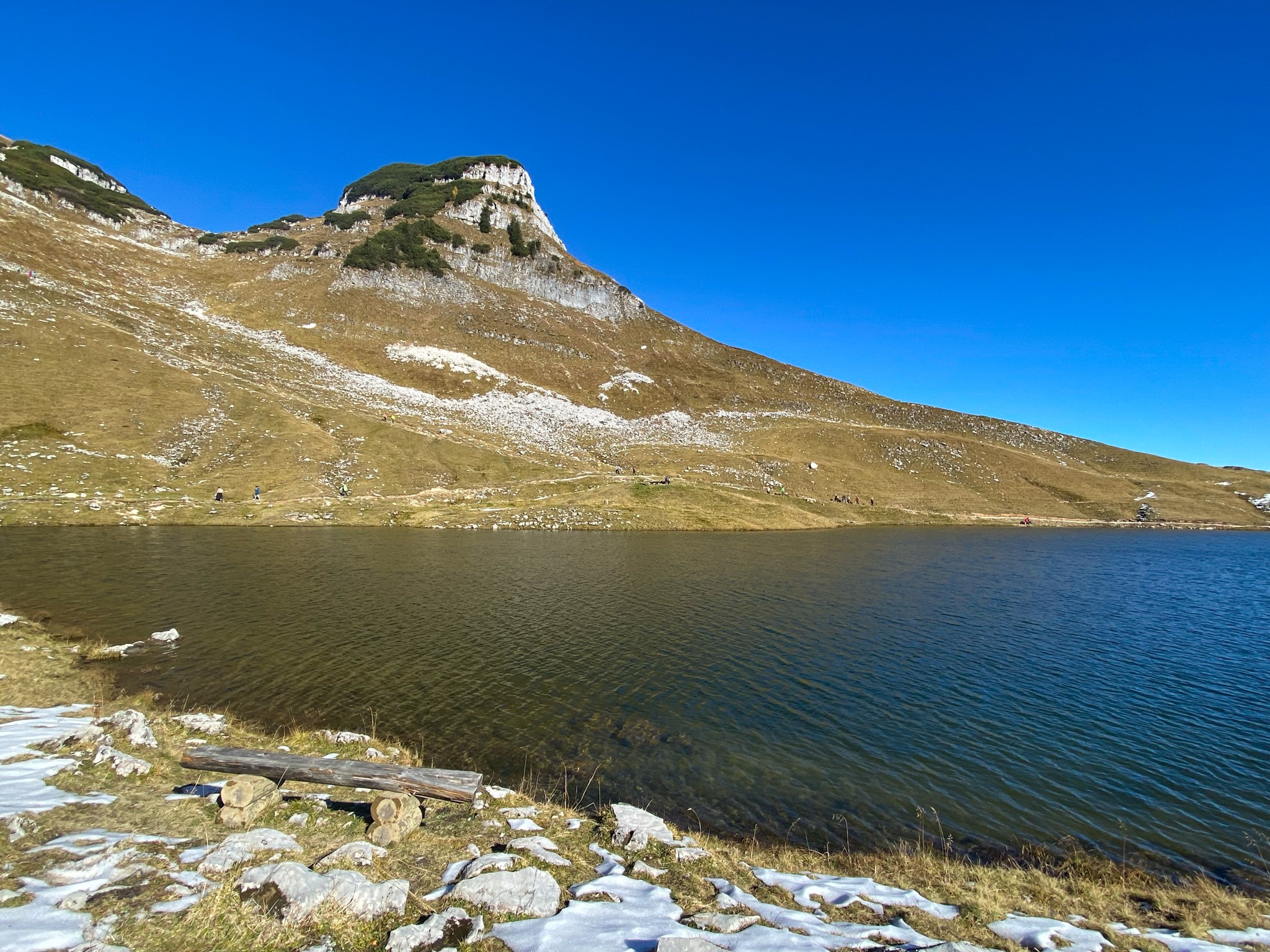
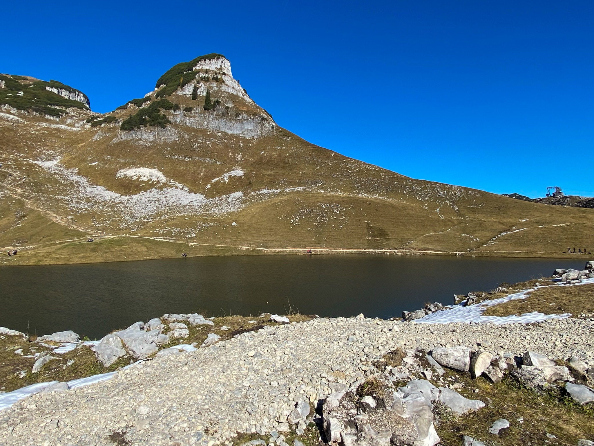
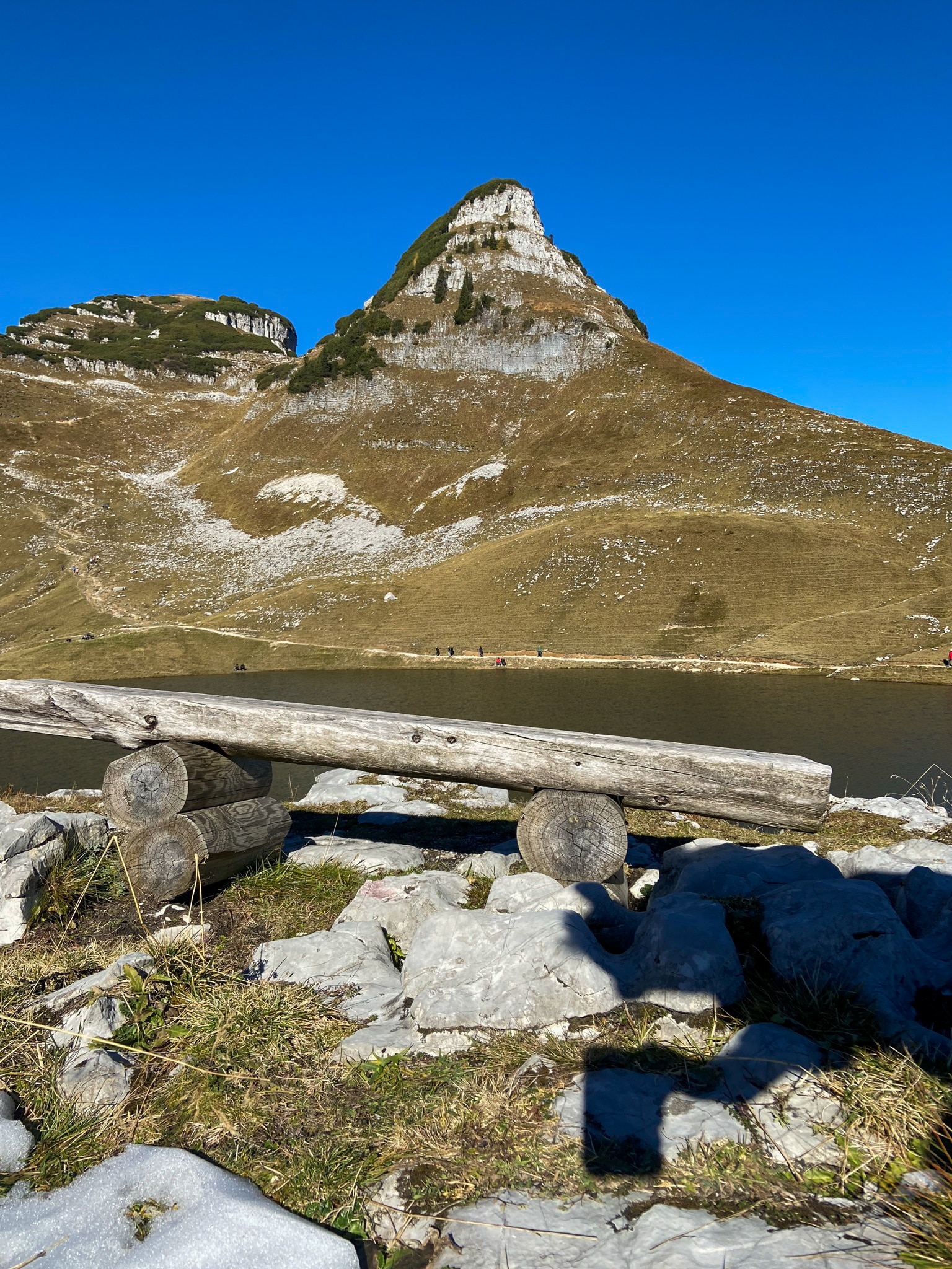
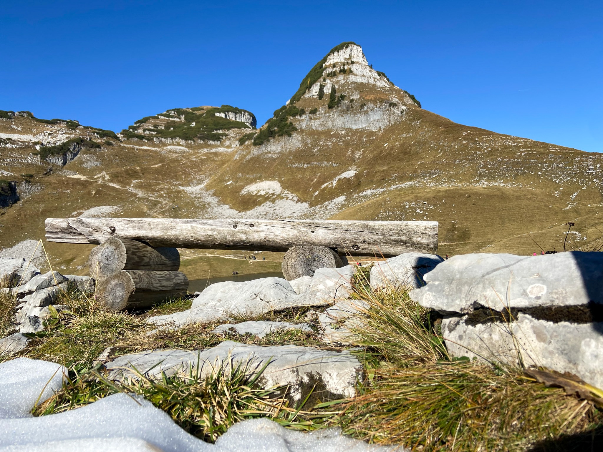
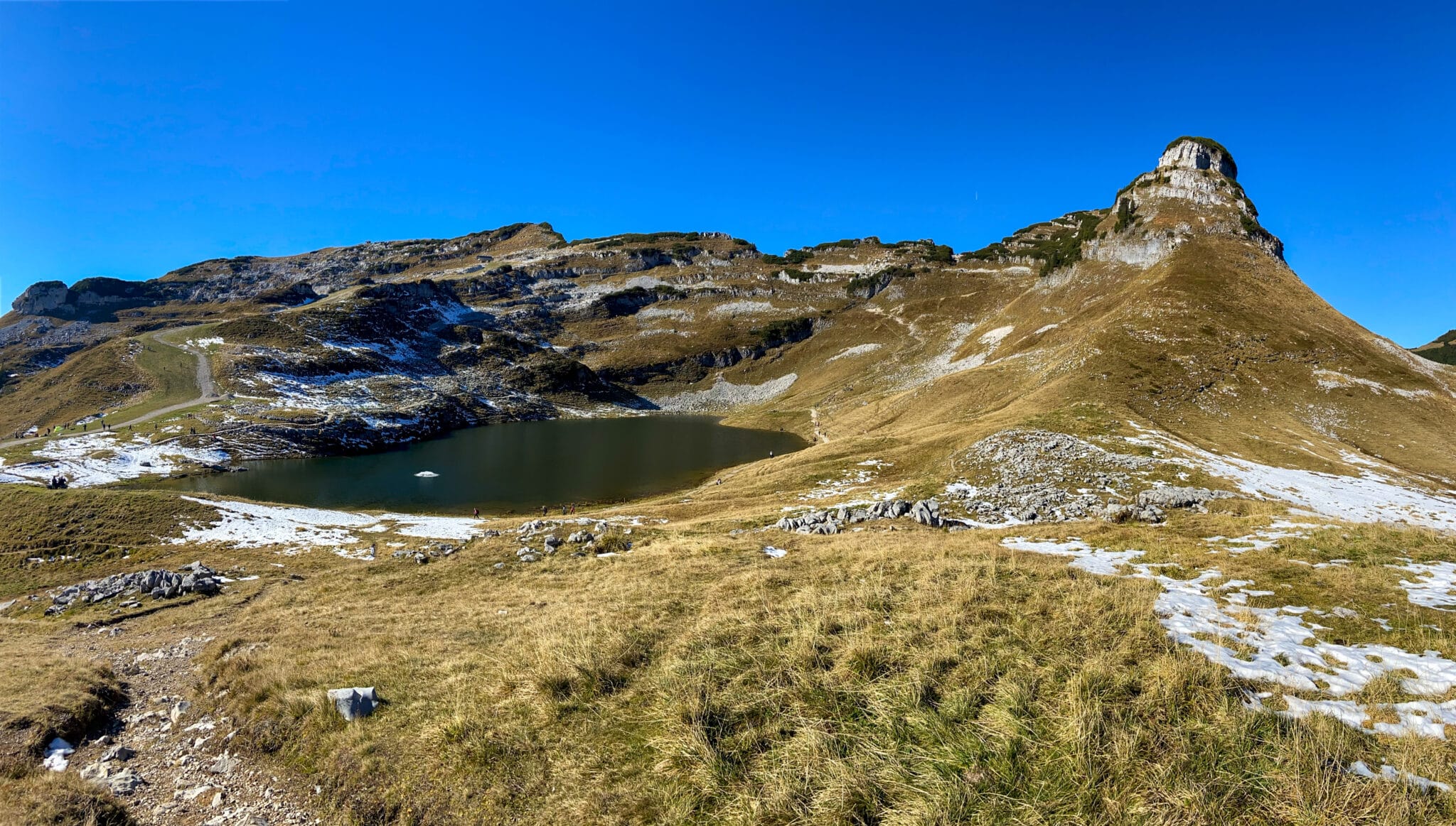
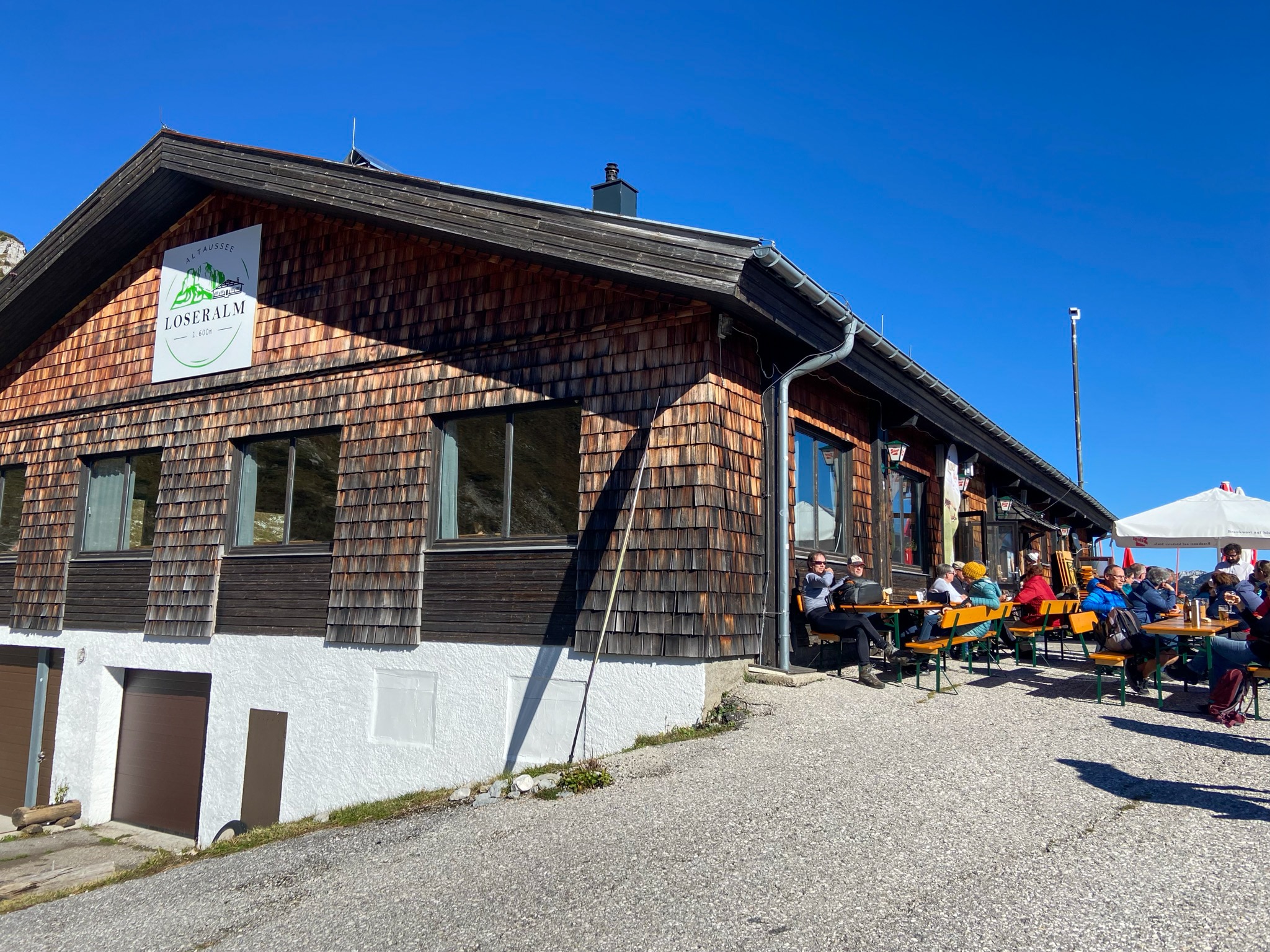
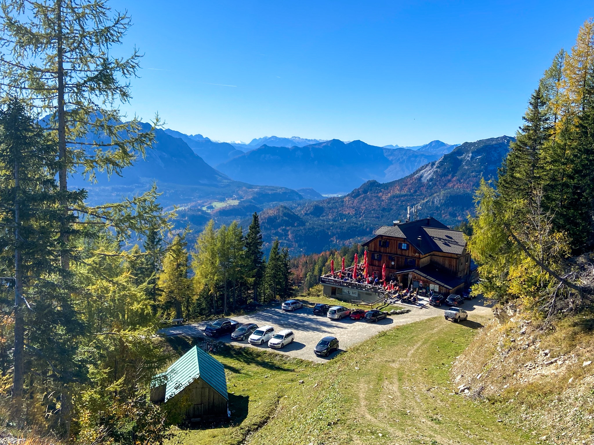
After you have paid the €18 toll at a machine, you first go up the 9km panorama road. Finally you come to the Loser-Alm car park, from where you can only continue on foot. We want to visit the Augstsee. From the parking lot it is only about 5 minutes uphill. To be honest, when we get to the top we’re a bit disappointed, but maybe that’s because of the time of year. At the end of October everything is rather brown and muddy. We imagined the view to be a little nicer, as this is a popular Instagram spot.
Nevertheless, we circle the lake once, because it only takes about 20 minutes.
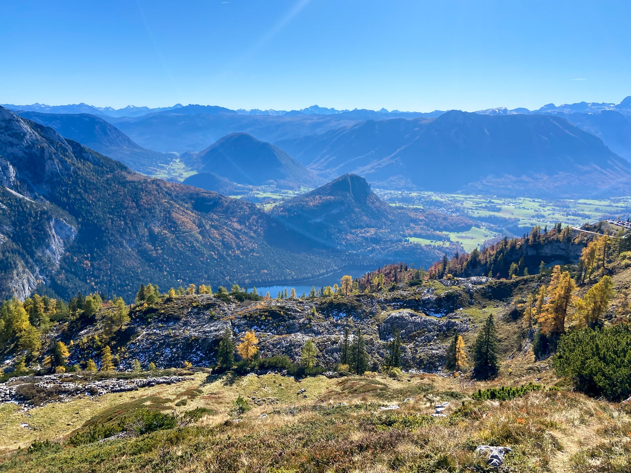
You continue along the Augstsee on path no. 256 or no. 3. Past the well-known Loser window you reach the Hochanger, which allows a first panoramic view of the mountains of the Inner Salzkammergut. On the west side you get down to the Loserboden. Then the last ascent leads to the Loser summit at 1,838 m. The summit is a small plateau with a very nice panoramic view over the Salzkammergut, Grimming, Dachstein, Niedere and parts of the Hohe Tauern.
Other well-known Instagram spots are Loserlaunch, Loserfenster and Loserthoerl
Climbers will find the “Sophie” via ferrata here as well as the panorama via ferrata “Sisi”. There is also a climbing park here.
The mountain is also popular with mountain bikers and paragliders.
There are 3 launch ramps for paragliders and hang-gliders:
Hochanger transmitter (1837 m)
Graskogel (1770 m)
Augstsee (1680 m) eastern launch site
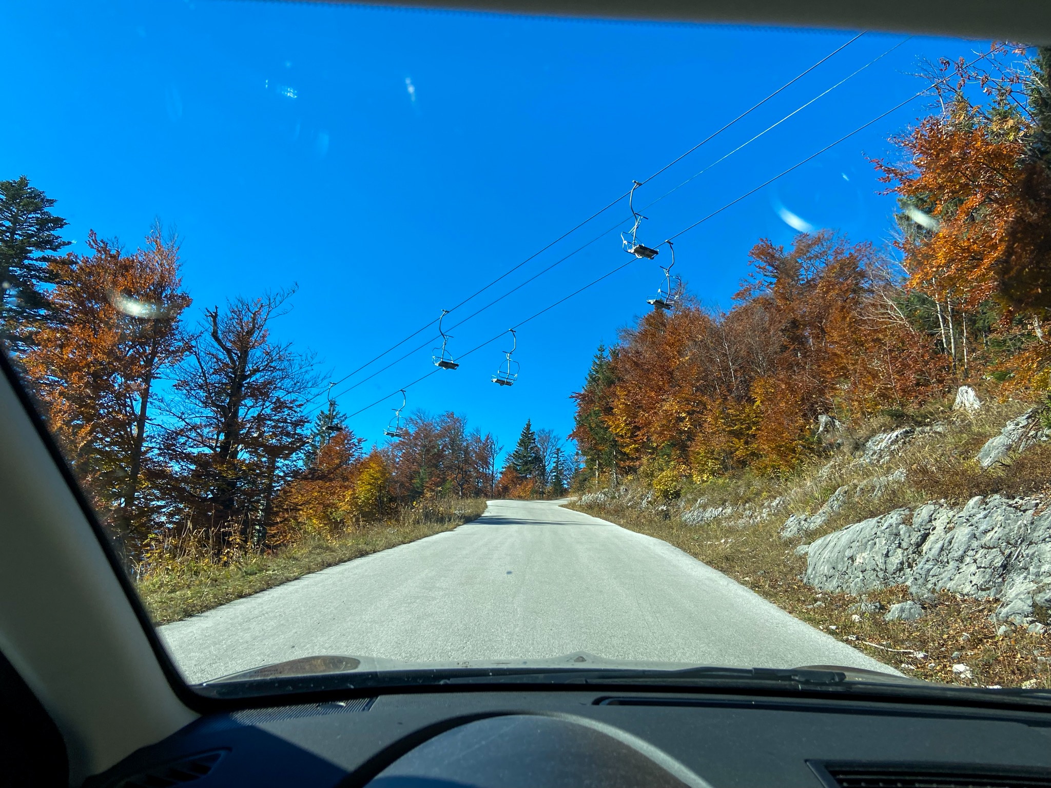
The Loser in winter:
The Loser Bergbahnen Altaussee ski resort includes 34 fog-free and snow-sure kilometers of pistes from 800 m to 1800 m above sea level.
Total kilometers of pistes: 34 km, of which 21 km are easy (blue) – 12 km are medium (red) – 1 km are difficult (black). You can find details here.
The Loser is also very popular in the Austrian freeride scene.
The Loser is also great for tobogganing. There is also a fun park and a children’s ski area. Since the beginning of 2019, all guests without ski or snowboard equipment have been able to hike the new high-altitude winter hiking trail (No. 14 on the panorama map) on the wintry Loser, which is more than one kilometer long.
Cross-country skiers will find the starting point for the 7-kilometer Blaa-Alm trail in the Loser Arena.
The Loser Window and the Loser Alm are worthwhile destinations for ski tourers.


